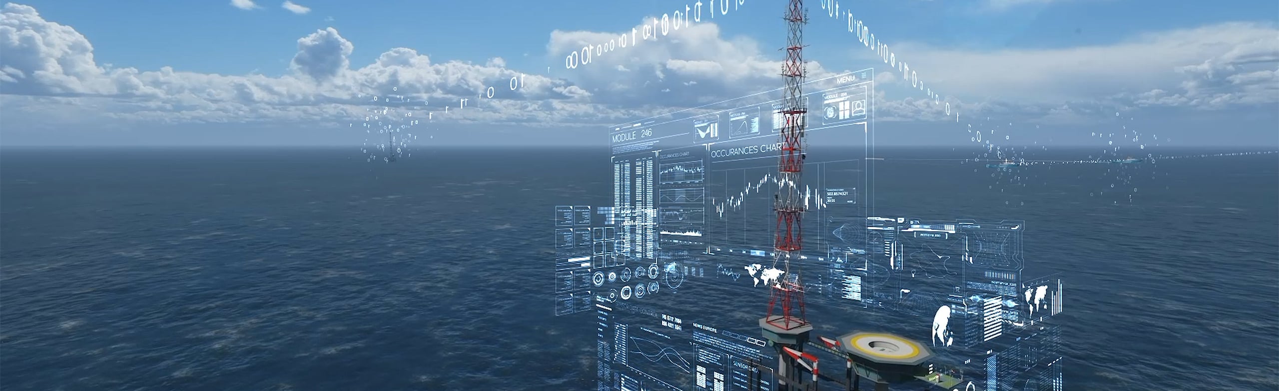
To facilitate, stimulate and ensure all activities in the North Sea take place safely and monitor the boundaries of a healthy ecosystem, data is needed on the use and condition of the North Sea. For example, about weather conditions and climate effects, wave height, water and soil quality, shipping movements, the condition of assets, movement behavior of birds and bats, safety incidents or the location of objects on the seabed.
Data categories
The digital data infrastructure that Rijkswaterstaat is creating in the North Sea collects the following types of data:
- Ecological data, such as bird radar and bat detection.
- Data for monitoring shipping, such as AIS and radar data.
- Hydrological data, such as wave height and water temperature.
- Meteorological data, such as wind speed, temperature and cloud height.
- Other data, such as camera images, LoRa (telecom network) and data for and in collaboration with Air Traffic Control the Netherlands and the Land Registry.
Other data providers
- The DINOloket provides information about the Dutch subsurface.
- The Open Data Viewer from 'Informatiehuis Marien' offers maps and monitoring data of the North Sea.
- The North Sea Atlas contains maps with data about the water system, use, policy and management of the North Sea.
- The NIOZ website provides access to oceanographic data.
- The Deltares data portal provides access to data on climatology, hydrology and ecology, among other things.